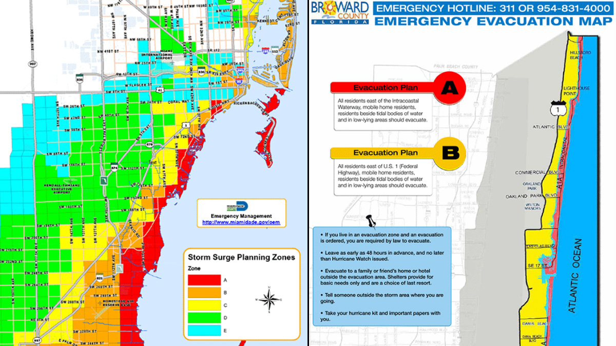
Living in Miami means accepting a certain reality about water. It’s everywhere. It defines the skyline, drives the property values, and, if you aren't careful, it eventually ends up in your living room. When people start hunting for a home in Coconut Grove or trying to figure out why their insurance premium in Shorecrest just doubled, they always end up staring at a city of Miami flood zone map. But here is the thing: most people read these maps completely wrong. They think a "line" on a map is a magical barrier that water respects. It isn't.
Water doesn't care about ZIP codes.
If you are looking at the FEMA Flood Insurance Rate Maps (FIRMs), you are looking at a snapshot of probability, not a crystal ball. These maps are the foundation for the National Flood Insurance Program (NFIP), and in Miami, they are basically the law of the land. But they are also frequently updated, sometimes controversial, and often confusing for the average person just trying to figure out if they need to buy sandbags.
The Alphabet Soup of Miami Risk
Basically, the map is a grid of letters. If you see an AE or an AH, you’re in a Special Flood Hazard Area (SFHA). That’s the high-risk zone. In these spots, there is a 1% annual chance of flooding. People call this the "100-year flood," which is a terrible name because it makes it sound like it only happens once a century. Honestly, that’s a dangerous way to think. A 1% annual chance means there is a roughly 26% chance of flooding over the life of a 30-year mortgage. Those aren't great odds.
Then you have the VE zones. If you see this on your portion of the city of Miami flood zone map, you’re in the "velocity" zone. This is usually the beachfront or areas right on the bay. It’s not just about rising water here; it’s about wave action. The ocean is literally trying to punch your house. Because of that, building codes in VE zones are brutal, and insurance is even worse.
Most people breathe a sigh of relief when they see Zone X. This is the "moderate to low risk" area. But here is a reality check: about 25% of all flood insurance claims come from areas outside of high-risk zones. In Miami, where the ground is made of porous limestone (basically a giant sponge), rain can’t always drain away. You can be in Zone X and still get two feet of water in your kitchen because the storm drains were overwhelmed during a King Tide.
The 2024-2025 Map Updates
FEMA recently went through a massive remapping project for Miami-Dade County. It wasn't pretty. Thousands of properties that were previously considered "low risk" were moved into high-risk categories. Why? Because the old maps were based on outdated data that didn't account for modern sea-level rise or the increased intensity of Caribbean storms.
When the city of Miami flood zone map gets updated, your mortgage lender usually finds out before you do. If you have a federally backed mortgage and your zone changes from X to AE, your lender will mandate flood insurance. If you don't buy it, they’ll "force-place" it for you, which is almost always more expensive.
Why Elevation Certificates are the Real MVP
The map tells you the zone, but it doesn't tell you the "Base Flood Elevation" (BFE) of your specific front door. This is where people get tripped up. The BFE is the height to which floodwater is anticipated to rise during a base flood. If the map says the BFE is 9 feet, and your house is built at 7 feet, you’re in trouble.
You need an Elevation Certificate (EC).
This is a document prepared by a surveyor. It’s a physical measurement of your home's lowest floor relative to the BFE. Honestly, if you’re buying a house in Miami, do not trust the seller’s old insurance bill. Get a fresh EC. If the house was built in the 1950s, it might be "grandfathered" into old rates, but those subsidies are disappearing under FEMA's new Risk Rating 2.0 system.
Risk Rating 2.0: The End of the Map as We Knew It?
Historically, your insurance price was tied almost entirely to your zone on the city of Miami flood zone map. That changed recently. FEMA’s Risk Rating 2.0 now looks at individual property variables:
- Distance to the water.
- Cost to rebuild.
- Type of foundation (crawlspace vs. slab).
- Frequency of flooding.
This means two neighbors in the same AE zone might pay totally different premiums. One neighbor might have a house built on a "stem wall" that keeps it three feet higher than the guy next door on a flat slab. The map is still the legal trigger for requiring insurance, but it’s no longer the only factor in what you pay.
The Local nuances of Miami Neighborhoods
Take a look at Little Havana. Much of it sits on a "ridge"—relative to the rest of Miami, anyway. It’s higher ground. But then look at The Roads or Brickell. Parts of Brickell are so low that even a heavy summer thunderstorm causes "sunny day flooding" because the water has nowhere to go.
In Shorecrest, the city has had to install massive permanent pumps just to keep the streets passable during high tides. When you look at the city of Miami flood zone map for these areas, you’ll see a lot of AE zones. But even within those zones, the risk varies block by block. Some streets have newer drainage infrastructure; others are still relying on pipes installed when Eisenhower was president.
The Ground Beneath Your Feet
Miami sits on Biscayne Aquifer limestone. It’s porous. This is a fact people often ignore when looking at flood maps. In places like New Orleans, you can build a levee to keep the water out. In Miami, the water just comes up through the ground. It’s like trying to build a wall to keep water out of a sponge.
This is why "groundwater flooding" is a unique threat here. Even if a storm surge doesn't overtop the sea wall, the pressure of the rising ocean pushes the freshwater table up. Your backyard becomes a swamp from the bottom up. The current city of Miami flood zone map doesn't always do a great job of showing this specific subterranean risk, which is why local knowledge is so vital.
How to Check Your Specific Property
Don't just Google an image of a map. It’s too low-res to be useful for your house. You need to use the official Miami-Dade County Flood Zone Tool or the FEMA Flood Map Service Center.
- Go to the FEMA Map Service Center.
- Enter your full address.
- Look for the "Effective" map date. If the map is from 2009, be wary. Much has changed.
- Check the "Panel" number. This identifies the specific sheet of the map for your neighborhood.
You should also look at the City of Miami’s Resilience Hub. They have layers you can toggle that show "Sea Level Rise Projections." This isn't the same as a flood zone map, but it’s arguably more important if you plan on owning the property for more than ten years. A house that is in Zone X today might be in an AE zone by 2040.
Actionable Steps for Miami Residents
If you find out you’re in a high-risk zone, don't panic, but don't ignore it either. There are specific things you can do right now to mitigate the financial and physical hit.
First, look into Community Rating System (CRS) discounts. The City of Miami participates in this program. Because the city takes certain steps to manage floodplain areas (like clearing storm drains or preserving open space), residents get a discount on their NFIP premiums. Usually, it's around 10% to 15%. Make sure your insurance agent is actually applying that discount.
Second, consider "flood venting." If you have a garage or a crawlspace, installing FEMA-approved flood vents allows water to flow through the structure rather than pushing against it. This can significantly lower your insurance premium because it reduces the chance of the walls collapsing under water pressure.
Third, get a private insurance quote. The NFIP isn't the only game in town anymore. Private insurers sometimes have better models and might offer lower rates for certain properties in Miami, especially if the home has been elevated or has modern mitigation features. Just be careful—private policies can sometimes be harder to renew if a major storm hits.
Fourth, document everything. If you are in a flood zone, take photos of your utility height. Is your A/C compressor on the ground? Moving it up onto a pedestal can save you thousands in a claim and potentially lower your rate. The city of Miami flood zone map tells you the risk, but your individual prep defines the outcome.
Finally, check the "substantial improvement" rule. If you live in a flood zone and want to renovate, the City of Miami enforces a rule where if the cost of the renovation exceeds 50% of the building's value, you are required to bring the entire building up to current flood code. This usually means elevating the whole house. Many people buy a "fixer-upper" in a flood zone only to realize they can't legally fix it without spending $200,000 to lift it off the ground.
Check the map. Check your elevation. Then check your budget. In Miami, the water is coming—it's just a matter of how high your floor is when it arrives.